The 150-kilometre loop around Mount Rainier crosses more vertical gain than the Grand Canyon rim-to-rim, one river valley and ridge at a time.
I permitted the trip through the lottery system months ahead, since Wonderland Trail camps are capped and highly competitive for the short July-to-September window when the high passes are reliably clear of snow. The trail circles Rainier at a near-constant middle distance, so the mountain itself is almost always visible, but the terrain underfoot changes completely every few hours — old-growth forest, subalpine meadow, glacial river crossing, scree.
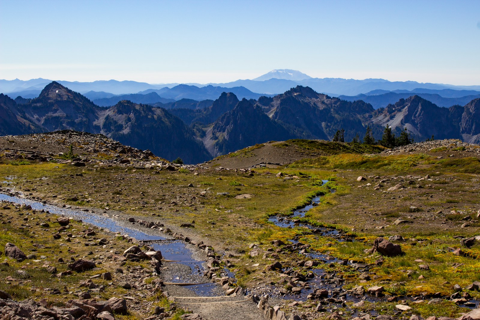
Panhandle Gap, the trail's highest point, still held snow patches when I crossed in early August, and the view stretched south to Mount Adams and, on a clear day, Mount St Helens beyond it. River crossings are the trip's real hazard rather than altitude — the Tahoma and Carbon rivers run high with glacial melt on hot afternoons, and rangers recommend crossing them as early in the day as your itinerary allows.
I carried a bear canister as required and had one uneventful but memorable evening watching a black bear work a huckleberry patch across the valley from camp. Split the trip into ten or eleven days rather than the aggressive seven some parties attempt — the elevation gain adds up fast, and Rainier's weather can close in with little warning even in August.